Operational impact, defined before the first model run.
We set baselines, track technical and business-facing metrics, and document decisions so new EO AI capability can be trusted by product, operations, and leadership teams.
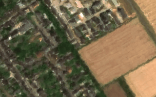
 Infrastructure and Utilities
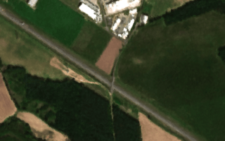
 Agriculture and Forestry
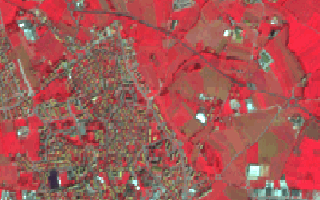
 Climate and Land
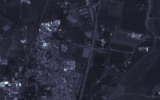
 Synthetic Data
How impact is evaluated
We avoid inflated claims. At kickoff, we define baseline performance and target deltas, then review outcomes with transparent error analysis and operating constraints.
Decision latency
Track time from new imagery to actionable output in the workflows your team actually uses.
Model stability
Measure precision, recall, and drift across regions, seasons, and sensor conditions to understand reliability boundaries.
Operational cost profile
Monitor compute, storage, and annotation overhead relative to delivered product or operational value.
Sector-specific outcomes
These are typical outcome areas we target when implementing EO AI for early-stage teams building internal capability.
Detect asset changes earlier and prioritize field review where operational risk is highest.
Use enhanced imagery quality to improve downstream screening and reduce false positives in alert workflows.
Surface parcel-level variation to guide interventions and reduce manual scouting load.
Track expansion and land-use shifts with consistent update cycles that teams can operationalize.